What We Do
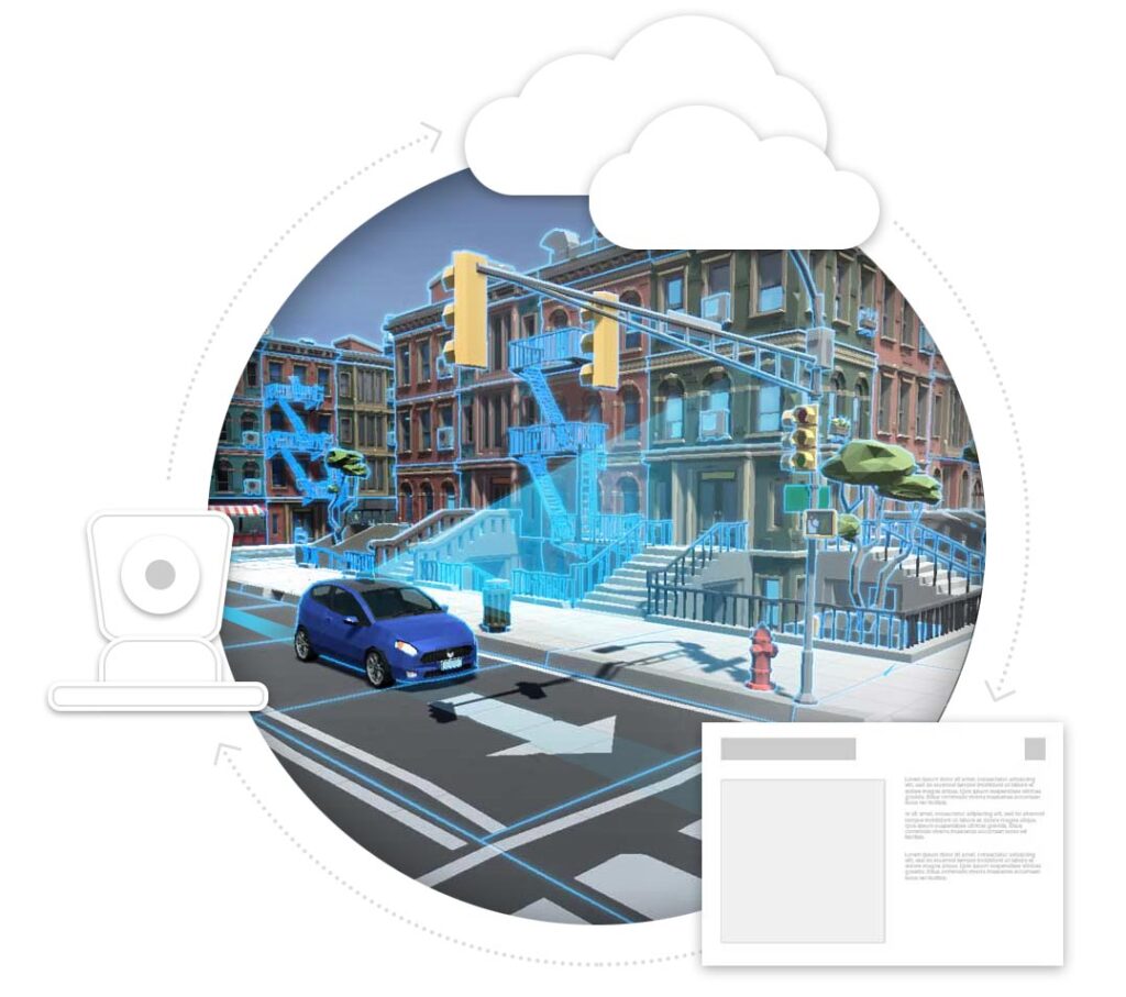
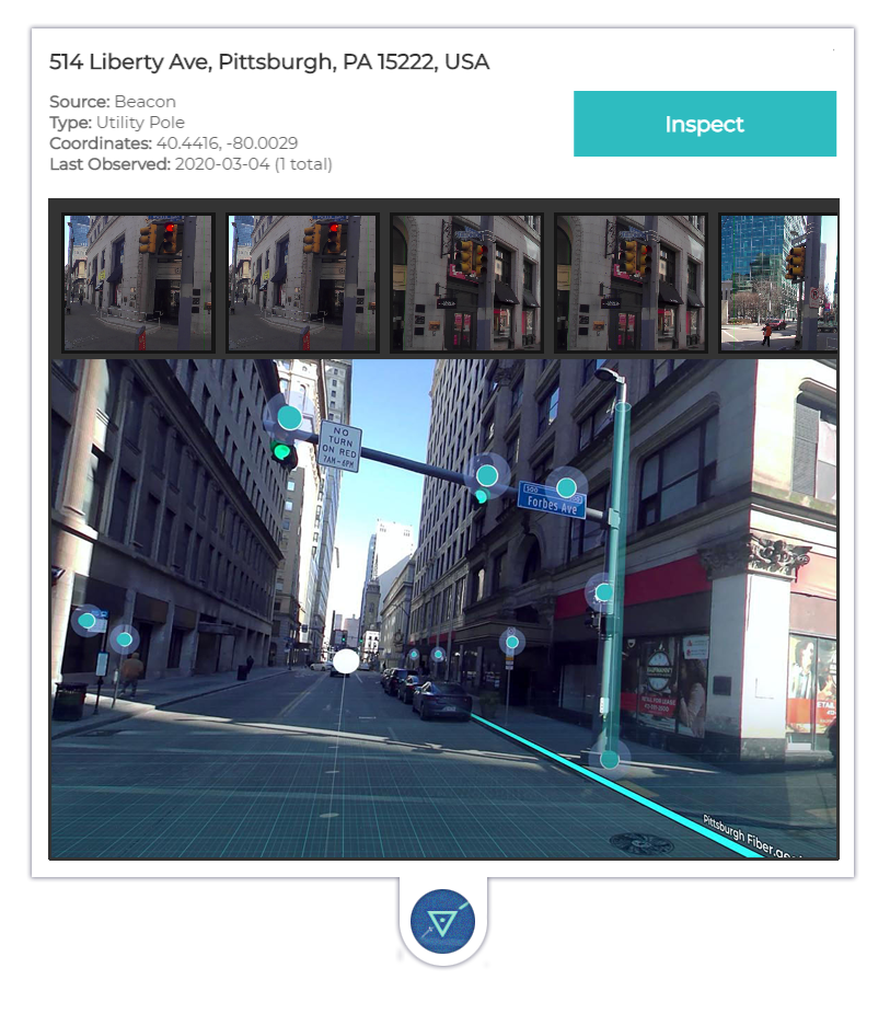
By combining data gathered by autonomous vehicles, GIS mapping platforms, and satellite/aerial imagery, Allvision is able to create and monitor rich geo-spatial models of key infrastructure assets and environments that are available on demand.
Whether you’re looking to improve vehicle turnover in high traffic commercial zones, monitor vegetation encroachment on power lines, or service and maintain assets inventories, Allvision can help.


